
IT-476
SityTrail - itinéraires balisés pédestres
Tous les sentiers balisés d’Europe GUIDE+

Length
3.6 km

Max alt
1484 m

Uphill gradient
577 m

Km-Effort
9.4 km

Min alt
893 m

Downhill gradient
0 m
Boucle
No
Signpost
Creation date :
2022-02-15 04:52:59.279
Updated on :
2022-03-01 02:21:38.837
2h07
Difficulty : Easy

FREE GPS app for hiking
About
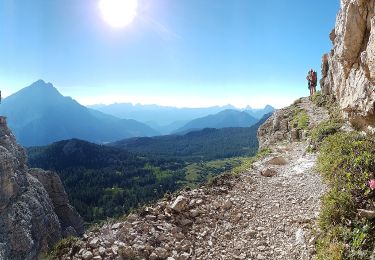
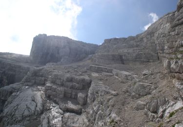
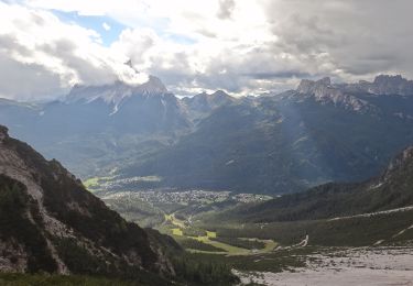
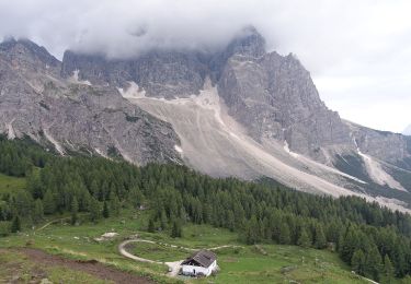
Trail On foot of 3.6 km to be discovered at Veneto, Belluno, Borca di Cadore. This trail is proposed by SityTrail - itinéraires balisés pédestres.
Description
Trail created by Sezione CAI San Vito di Cadore.
Symbol: 475 on white red flags
Positioning
Country:
Italy
Region :
Veneto
Department/Province :
Belluno
Municipality :
Borca di Cadore
Location:
Unknown
Start:(Dec)
Start:(UTM)
286476 ; 5145745 (33T) N.
Comments
Trails nearby


Sentiero CAI n. 458


On foot
Easy
San Vito di Cadore,
Veneto,
Belluno,
Italy

3.9 km | 8.5 km-effort
1h 55min
No


 SityTrail


Le balisage et la piste devient compliqué à 200 m de l'arrivee. on vous recommande d'aller sur le belvédère avant la fin de la randonnée. très belle vue sur les sommets et tous les villages en dessous